You can also download a hi-res copy as a pdf (7.9 mbs).
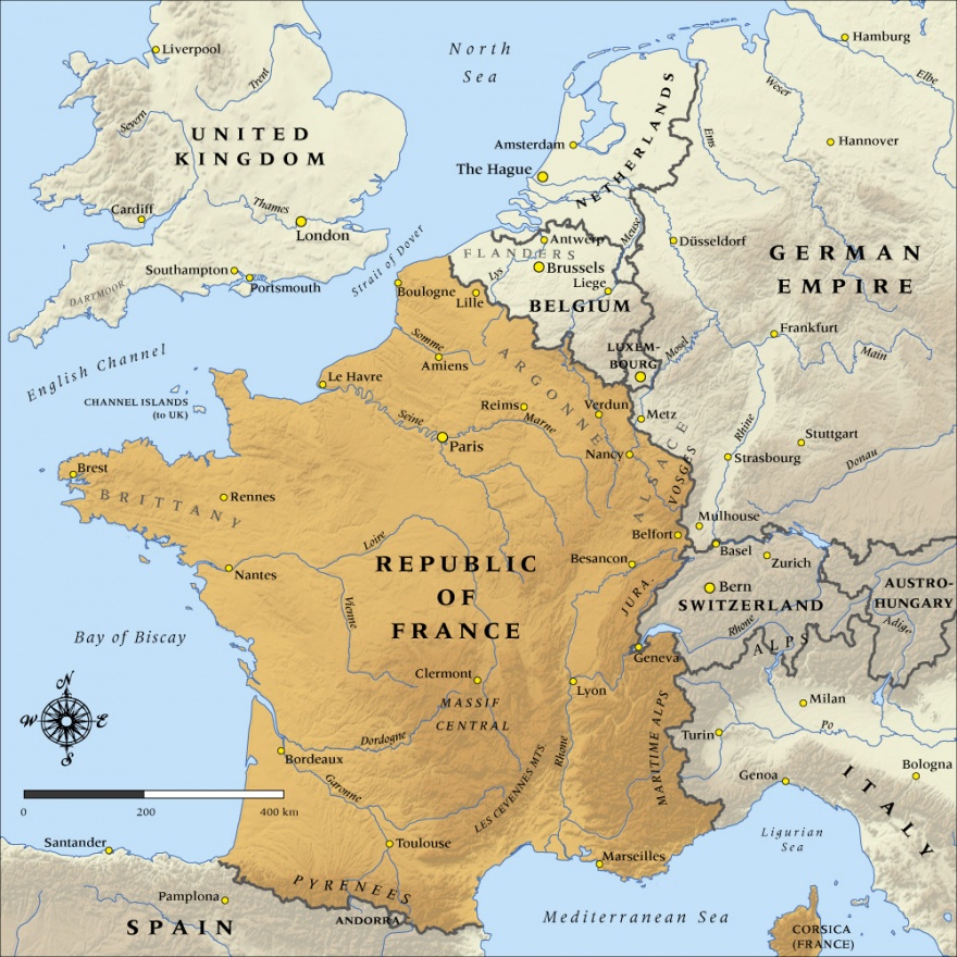
This map shows the boundaries and major cities of the Republic of France at the time it entered the First World War in 1914.

You can also download a hi-res copy as a pdf (7.9 mbs).
This map shows the boundaries and major cities of the Republic of France at the time it entered the First World War in 1914.
If you compare our map with this one: http://www.studenthandouts.com/photo_gallery/Maps/WorldWarI-7.jpg - you will see that we do show Alsace and Lorraine as German in 1914 - eg compare our location for the cities of Metz and Strasbourg, both of which reverted to France in 1919.
Regards, Jamie Mackay
The map you show of France is inaccurate. It shows Alsace and Lorraine as French. In fact they had been annexed by Germany in 1871 and regaining this territories was the principal War Aim of France in 1914. The map as illustrated represents France after the Treaty of Versailles after the War.
Community contributions